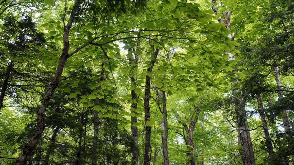
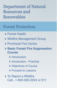
 Basic Forest Fire Suppression Course
“Developed to provide basic fire suppression training that would enable first responders to safely and effectively manage forest fires. It is intended for members of fire departments, industry, community college students, and those interested in wildland fire fighting. ”
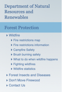 Wildfire
Wildfire season in Nova Scotia runs from March 15 to October 15. This is time of year when conditions tend to increase the risk of wildfires.
Prevention is the best way to reduce wildfires:
- fire restrictions map
- fire restrictions information
- campfire safety
- brush burning safety
- FireSmart resources
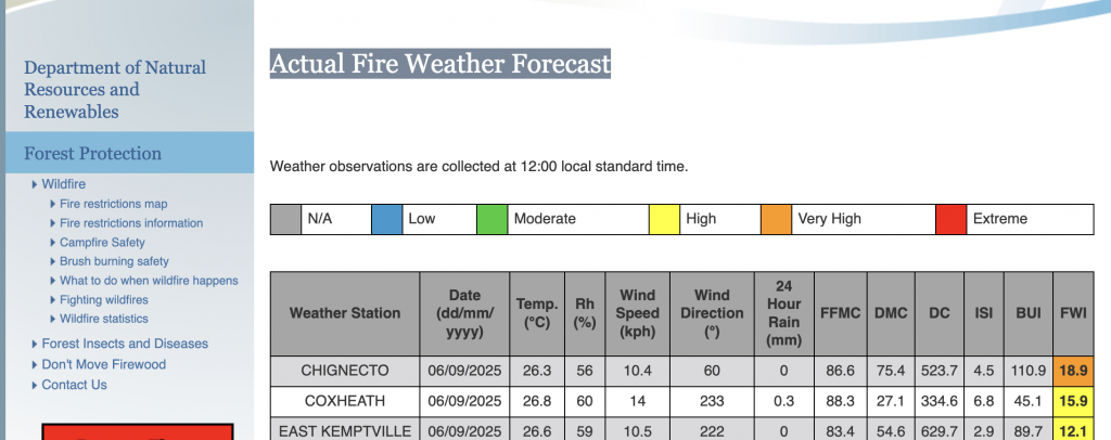
Related: Fire Weather Forecast Maps and Indices
“Standard Components of the Fire Weather Index (FWI):
The six standard components of the FWI System provide numerical ratings of relative wildland fire potential. The first three components are fuel moisture codes that follow daily changes in the moisture contents of three classes of forest fuel with different drying rates. For each, there are two phases — one for wetting by rain and one for drying — arranged so that the higher values represent lower moisture contents and hence greater flammability. The final three components are fire behavior indexes, representing rate of spread, amount of available fuel, and fire intensity; their values increase as fire weather severity worsens.
The system is dependent on weather only and does not consider differences in risk, fuel, or topography. It provides a uniform method of rating fire danger across Canada. The six components are described below.
Fine Fuel Moisture Code (FFMC)
A numerical rating of the moisture content of litter and other cured fine fuels. This code is an indicator of the relative ease of ignition and flammability of fine fuel… READ MORE
Also referenced:
| Canadian Wildland Fire Information System (https://cwfis.cfs.nrcan.gc.ca) Extracts from that site follow below: Fire WeatherFire BehaviorFire M3 HotspotsThe Canadian Wildland Fire Information System monitors fire danger conditions and fire occurrence across Canada. Daily weather conditions are collected from across Canada and used to produce fire weather and fire behavior maps. In addition, satellites are used to detect fires, and reported fire locations are collected from fire management agencies. This site is divided into the following main sections:
|
 Wildfire Basics (PDF)
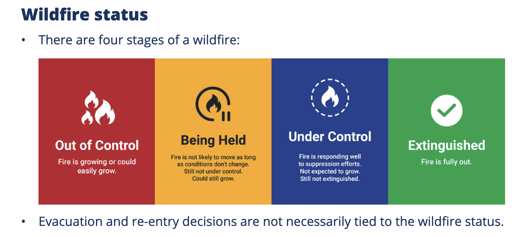
NS Gov. 5 page document, well illustrated; sections: Wildfire status, Size of wildfire, Active wildfire zone, How we fight wildfires, How we protect homes and buildings, Evacuation.