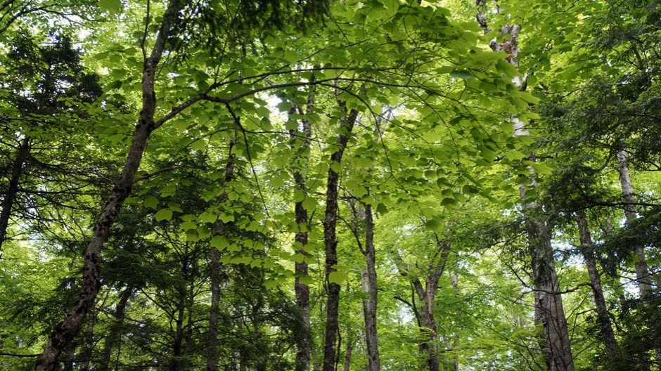

Forest around Goldsmith Lake November, 2022.
Drone photo credit Malachi Warr
Click on images for larger versions
At issue in this ongoing series by Nina Newington is whether 3900 hectares of Crown land around Goldsmith Lake in Annapolis County should be protected, as citizen scientists propose, or whether it should remain available for forestry and other industrial activities.
In Stories Maps Tell I: Just Not True, posted Feb 2, 2025, Nina described the Bowater Maps for the area and how NRR/DNR is attempting to justify logging in this area by maintaining that, except for a couple of stands of officially recognized Old Growth, it is “managed forest” that was cut or treated between 1970 and 2012. However close examination of the maps showed that there is a LOT of forest that was not touched during Bowater’s tenure.
Now, in Stories Maps Tell II: Where the Bowater map gets it right, Nina describes how her FOI (Freedom of Information) requests revealed that DNR has been sitting on (not making public), the existence of some very old forest on the lands that were not touched during Bowater’s tenure. Further, investigations by Citizen Scientists revealed many occurrences of Frosted Glass Whiskers, a Species-at-Risk Lichen that is indicative of mature to Old Growth forests – and that they are most concentrated in those forest stands that were NOT managed by Bowater.
Go to Stories Maps Tell II